BP
RARE Original 1942 Illustrated Retro Map of North and South America - Captain Silver's Sea Chart - WWII Collectible Colourful Poster
RARE Original 1942 Illustrated Retro Map of North and South America - Captain Silver's Sea Chart - WWII Collectible Colourful Poster
Couldn't load pickup availability
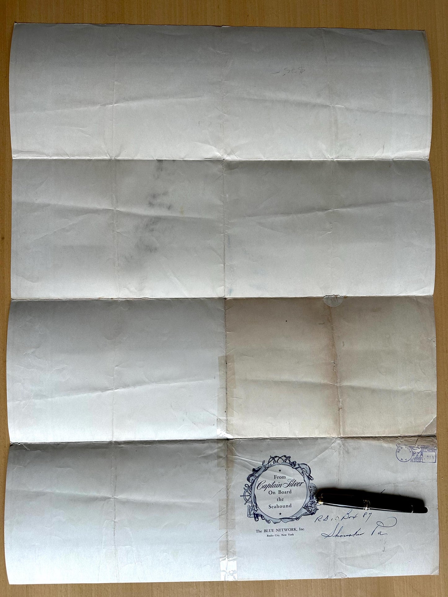
This rare vintage map called "Captain Silver's Sea Chart" was published by the Captain Silver Syndicate, Inc., NY. This was originally a giveaway for listeners of "The Sea Hound", a radio program (1942-1944) produced with Nelson A. Rockefeller's Office of the Coordinator of Inter-American Affairs as part of a national program to strengthen inter-American relations.
Size: 20 inches x 26 inches (50.8 cm x 66.04 cm). Originally folded as mailed.
The fantastic colour scheme of this poster and its beautifully illustrated vignettes and border of flags and leaders of each country, and border swirl around "Captain Silver's Sea Chart" in italic script provide a lesson in great, retro design!
Broadcast five times a week, the 15-minute serial related the adventures of Captain Silver and his sidekick Jerry as they pursued enemy agents throughout the Western hemisphere. Every episode took place in a different Latin American country. To educate young listeners about each country's geography and strategic importance, the producers created Captain Silver's Sea Chart, a map that identified the vital products, flags and national heroes of each Latin American republic.
There were several editions of this poster. This is one of the best ones. Published in 1942 by the Office of Inter-American Affairs. This is a great piece of wartime propaganda for the youth of yesteryear.
Condition: Fair to Good condition. Deep, bright colours; the poster is clean. This was mailed folded to radio listeners so there are visible folds on the poster, which should be benefit from framing behind glass. There are repaired tears on the poster, two of which are on the edges. Short split on one of the folds. But because of the dark colours used in the poster map, tears and faint creases are not so noticeable. NOTE: There is some writing on a portion in the back with a mailing address (see last photo)
This is an original poster map from 1942, not a reproduction! Bananastrudel only sells originals.
Shipped in a mailing tube.
TU23
Share