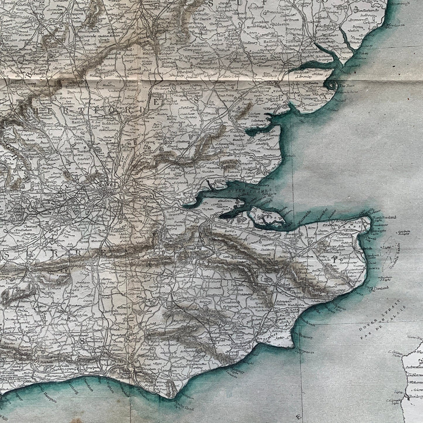
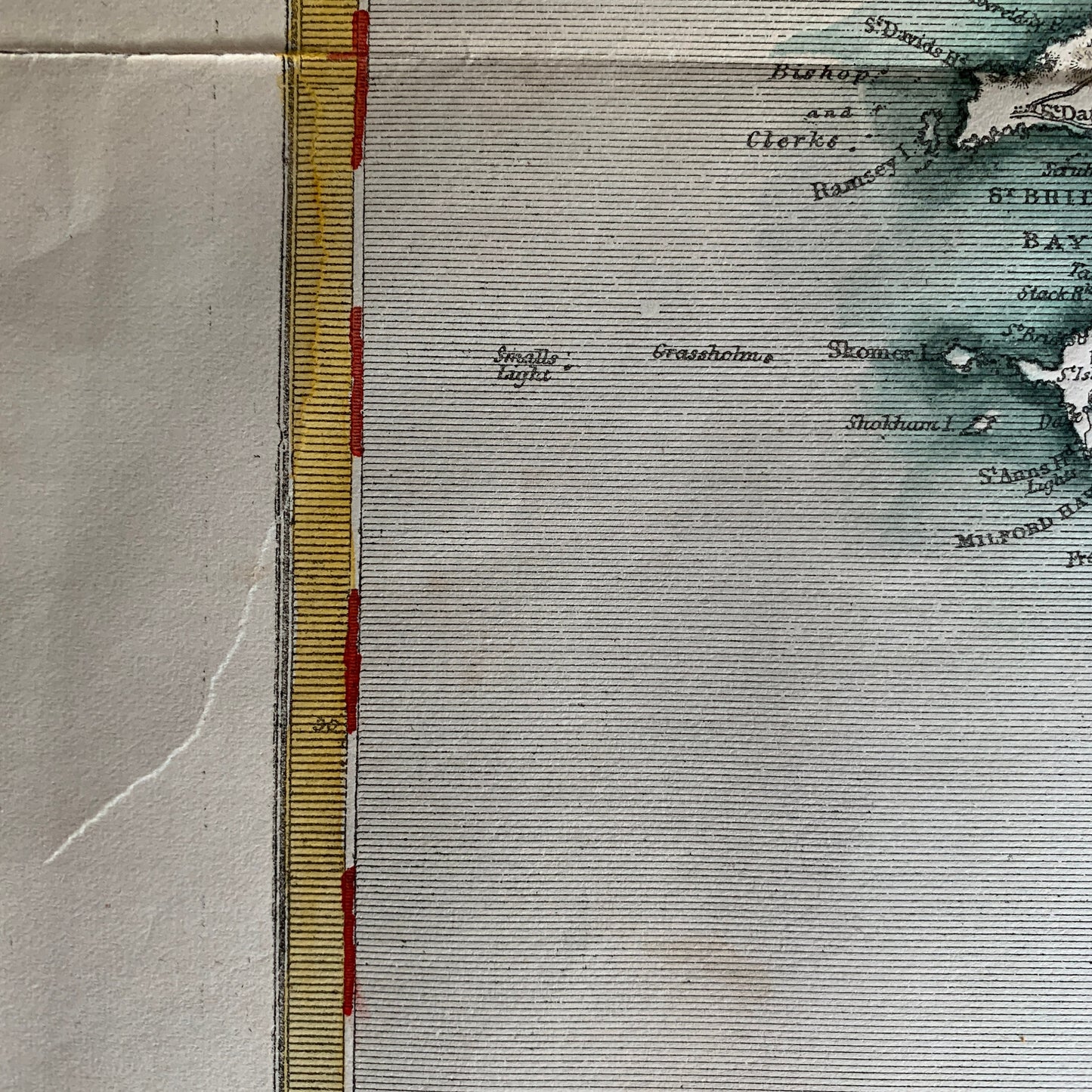
A rare, wall-size (30.5 inches x 36.25 inches) 1858 handcoloured antique map of England and Wales, printed by Joseph Clayton, 17 Bouverie Street, London (printed at bottom) for the Illustrated Times in London, UK. This publication was a rival to the Illustrated London News. Maps of this size from that era are very rare and are usually printed in two parts/sheets. This map is printed on one sheet only.
Printed on the map:
Top: SUPPLEMENT TO THE [sic] "ILLLUSTRATED TIMES," July 17, 1858
Bottom: Printed by Joseph Clayton. The ILLUSTRATED TIMES MAP OF LONDON, uniform in size with the present Map, will be re-issued with the ILLUSTRATED TIMES on JULY 31, Price 5d, to all persons PREVIOUSLY ORDERING IT OF THEIR NEWS AGENTS. 17, BOUVERIE STREET, LONDON.
The population of England and Wales in 1851 is listed as 8,762,588 males and 9,160,180 Females, for a total of 17,922,768 persons.
Size of map image: 30.5 inches x 36.25 inches (77.5 cm x 92 cm).
In very good condition. There is one unobtrusive, vertical one-inch (2.54 cm) tear on the left-hand yellow border, about 12 inches (30 cm) above the bottom left-hand corner; see last photo. The map has folds (since it came folded and tucked into the newspaper as a supplement). This will be shipped in a tube, however.
Blank en verso. The full map is shown in the first photo. Other photos show details from the map.
This is an original map from 1858, not a reproduction! Bananastrudel sells only originals.
Shipped to you rolled in a tube.
BMB3