BP
Vintage Map of the Malay Archipelago - East Indies - Indonesia, Philippines, Moluccas, Marianas, and Carolines - Hand Coloured Vaugondy/Delamarche Map - Old Map from 1812
Vintage Map of the Malay Archipelago - East Indies - Indonesia, Philippines, Moluccas, Marianas, and Carolines - Hand Coloured Vaugondy/Delamarche Map - Old Map from 1812
Couldn't load pickup availability
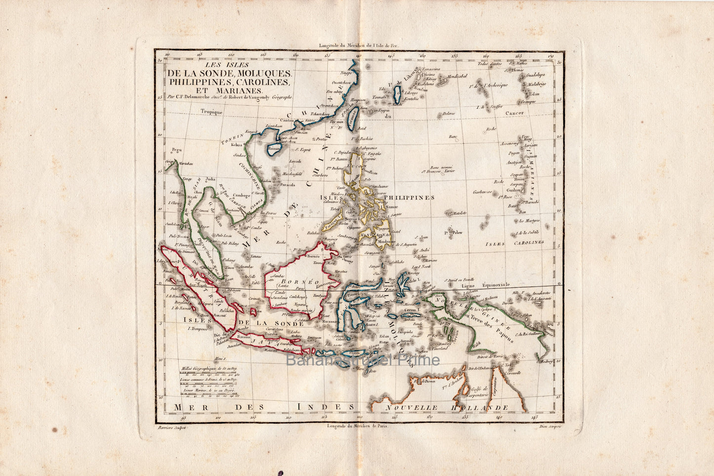
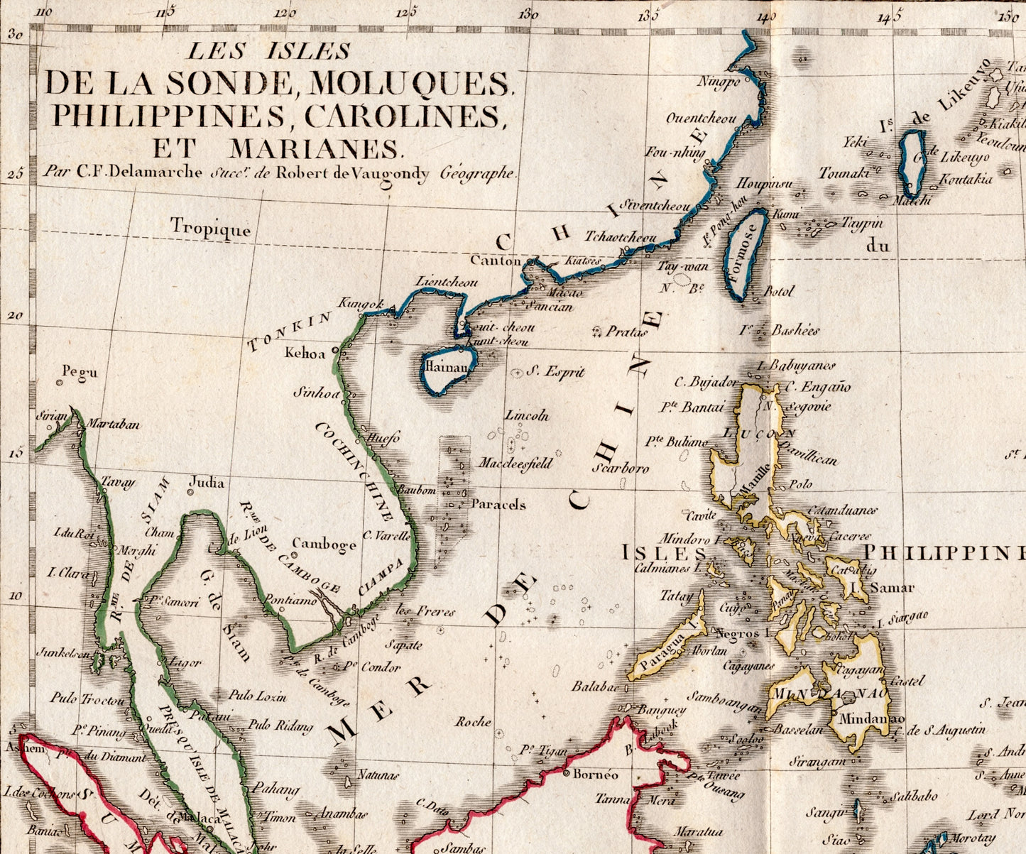
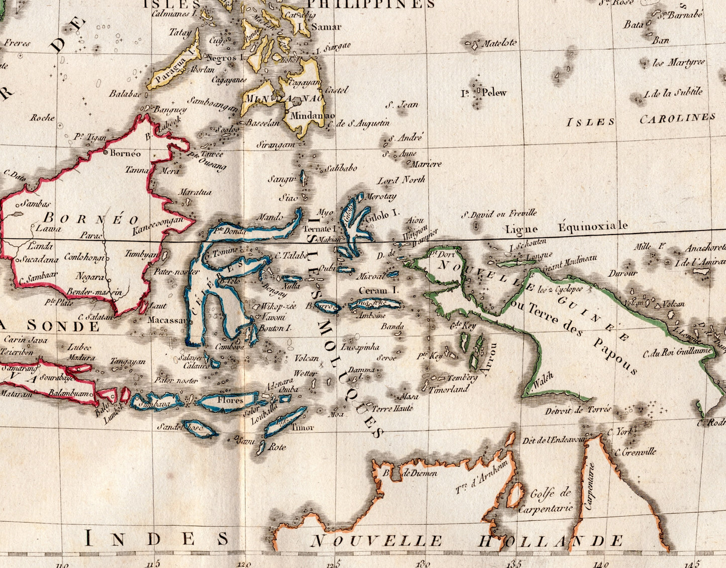
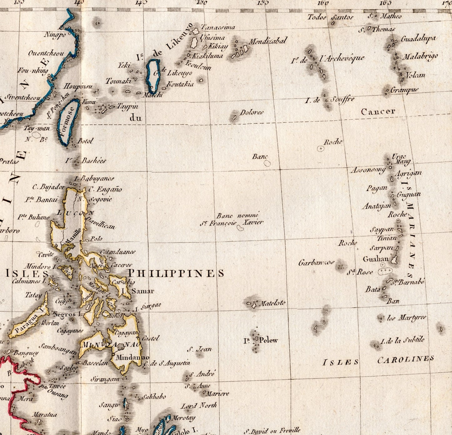
An old hand-coloured map of the Malay Archipelago (East Indies) by famous French cartographer Didier Robert de Vaugondy (1723-1786), with outline hand colouring. Published ca. 1812 in Paris. Shows:
- Indonesia (Sumatra, Java)
- the Philippines
- the Carolines
- the Sunda Islands
- the Marianas
A bit of Australia is showing at the bottom right of the map, under its old name of "Nouvelle Holland".
Size: approximately 18 inches x 12 inches (45.72 cm x 30.48 cm). Previously folded.
The full map is shown in the first photo. Originally folded when bound into the atlas.
The map is from the Nouvel Atlas Portatif, first published in 1762 by Didier Robert de Vaugondy, who was appointed geographer of King Louis XV in 1760 and who intended the atlas to be used to educate young students in the basic elements of geography. The atlas, including the 1804 edition from which this map was taken, was later published by Charles François Delamarche, a Parisian geographer and publisher who bought the copper plates of Robert de Vaugondy and reissued the atlas.
Click here for more maps from this atlas.
In very good condition; blank en verso.
MMB3 38
Share